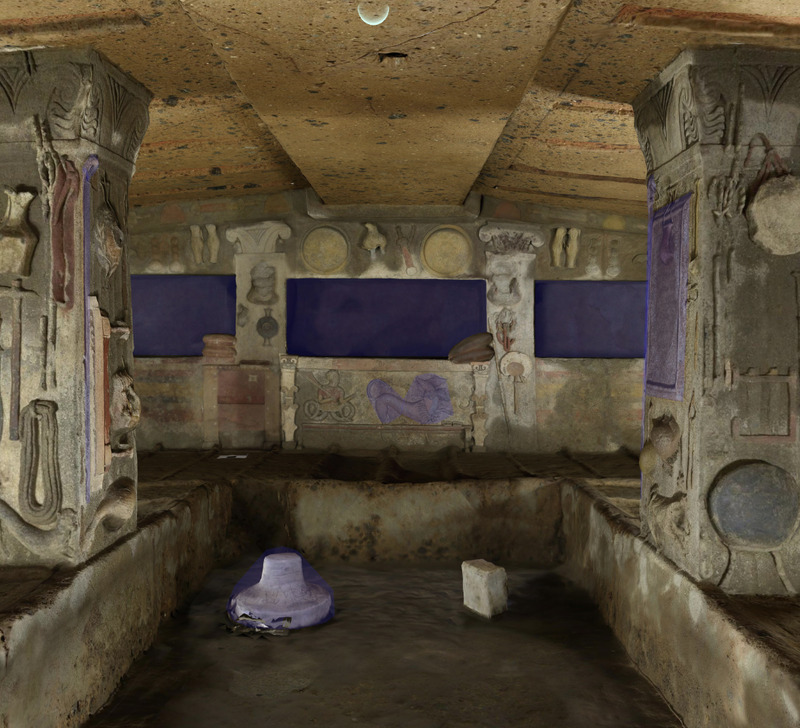
Piante di fase della villa romana di Sirmione (BS), Grotte di Catullo. In dettaglio il dataset è composto da: due tavole relative a strutture esistenti e ipotesi ricostruttive del Livello Superiore della villa, una tavola dello stato di fatto del Livello Intermedio, una tavola dello stato di fatto del Livello Inferiore e infine due tavole relative una alle fasi tardo antiche e l'altra alle frequentazione alto medievali. Le piante di fase sono state ottenute mediante rielaborazione dei rilievi CAD eseguiti dalla ditta Tracciatori s.a.s. e digitalizzazione dell'ortofoto fornita dal Polo Museale della Lombardia. È stata utilizzata per l'elaborazione e gestione dei dati una piattaforma GIS open Source. Il prodotto finale è stato la generazione di tavole in formato pdf. Il gruppo di lavoro è composto da: dott.ssa Elisa Lerco e dott. Nicola Mancassola.
Piante di fase della villa romana di Desenzano (BS), loc. Borgo Regio. Nel complesso il dataset comprende il rilievo generale dell'area archeologica, una tavola del settore A ascrivibile alla metà del IV secolo e una tavola del settore B anch'esso databile alla metà del IV secolo. Le piante di fase sono state ottenute mediante rialaborazioni di rilievi CAD eseguiti da E. Laidelli 2006, proprietà del Polo Museale della Lombardia e digitalizzazione delle ortofoto eseguite nel 2020 dal gruppo di ricerca dell'Università di Verona (dott.ssa Fiammetta Soriano). Per l'elaborazione e gestione dei dati è stata utilizzata una piattaforma GIS open souce, QGIS. Il prodotto finale è stato la generazione di tavole in formato pdf. Gruppo di lavoro: dott. Nicola Mancassola, dott.ssa Elisa Lerco.
Photogrammetric 3D model of the main quarry in Porto Miggiano (Le). The digital survey was performed in 2022 using an unmanned aerial vehicle (UAV) DJI Mavic 2 Pro equipped with a high-resolution (20 MP) RGB camera. The photo data set has been processed within Agisoft Metashape Professional ® Professional software that allowed to obtain 3D spatial data and ortophoto.
An ancient island located just above the First cataract of the Nile River that was flooded by the construction of the Aswan High Dam. The island was home to a multi-period temple complex, which was moved to the nearby island of Agilkia and declared a UNESCO World Heritage Site in the 1970s.
Welcome to Phenome10K. This site provides 3D scans – CT and surface – of biological and palaeontological specimens for free download by the academic and educational community. Search and contribute today!
The modern city of Faqous in the southeastern portion of the Nile delta is thought to have been built atop an ancient city known to the Greeks as Phakoussa. Strabo identifies it as the terminus of an ancient canal connecting to the Red Sea.
An ancient settlement on Crete where occupation began ca. 3000 B.C., Phaistos was a major center of the Minoan civilization and continued to be a Greek city of the first millennium B.C.
PERCEIVE aims at advancing the digital capability of scientists and cultural institutions through a service-based AI architecture and toolkit, and by developing a new design theory for on-site and remote VR/AR/MR experiences, based on the concepts of “Care”, “Accessibility”, and “Authenticity”, with and for the creative industries, expanding the access to Cultural Heritage and Art outside museums for wider integration with society.
Boubastis (also known, in Arabic, as Tell Basta or, in Egyptian, as Per-Bast) was an ancient city in Egypt. It was located in the Nile Delta and served as the capital of the Am-Khent nome (the Bubastite nome), which was the 18th nome of Lower Egypt. It has been identified with the Biblical Pi-Beseth.
Pelusium was a fortified ancient city located at the mouth of the eastern-most branch of the Nile river. Its ruins, now land-locked and located approximately 30km southeast of Port Said, are known as Tell Farama.
PAThs is a project -- which has been funded for six years (2016-2022) by an ERC Advanced Grant (project no. 687567) and is now running thanks to other forms of finantial support -- whose goal is to provide an in-depth diachronical understanding and effective representation of the geography of Coptic literary production and in particular of the corpus of literary writings, almost exclusively of religious contents, produced in Egypt between the 3rd and the 13th centuries in the Coptic language.
PAThs (complete title: “Tracking Papyrus and Parchment Paths. An Archaeological Atlas of Coptic Literature. Literary Texts in Their Original Context. Production, Copying, Usage, Dissemination and Storage”) takes an original and pluridisciplinary approach, combining philology, codicology, palaeography, archaeology, archaeometry, and digital humanities, in order to explore the process of production, copying, usage, dissemination, and storage of Coptic works in relation to the concrete geographical contexts of origin of both the texts themselves and their related writing supports.
PAThs is not a project that emerges ex nihilo, but it takes advantage of some successful initiatives whose results will constitute one of the bases of the research work, although they do not overlap with the goals of this new project. The Corpus dei Manoscritti Copti Letterari (CMCL) is the most important of these projects.
Documentation and data repository for the Interactive Atlas of Coptic Literature.
Available documentation:
- Users’ handbook
- Database schema
- Data repository
Campanian Augustan Aqueduct at Parco dello Sport (Bagnoli, Naples, Italy), adit R9. Preliminary confined space model. Data acquisition on Aug 24, 2023 with Apple iPhone 14 Pro, IOS V16.2, 256 GB of RAM, and the Scaniverse V2.1.4 application, with scanning in Area mode and processing in Area mode. No post-processing on other devices. Credits: Graziano W. Ferrari (scanning), Raffaella Lamagna (operations support).
Campanian Augustan Aqueduct at Parco dello Sport (Bagnoli, Naples, Italy), channel junction between R7 and R8 adits. Preliminary confined space model. Data acquisition on Aug 24, 2023 with Apple iPhone 14 Pro, IOS V16.2, 256 GB of RAM, and the Scaniverse V2.1.4 application, with scanning in Area mode and processing in Area mode. No post-processing on other devices. Credits: Graziano W. Ferrari (scanning), Raffaella Lamagna (operations support).
First founded in 734 BC by the Phoenicians as Ziz, Pan(h)ormus (modern Palermo) was an important ancient city of the Greek, Roman, and Arabic civilizations.
An ancient settlement of the Veneti, Patavium became a Roman municipium in 45 BC. It was the birthplace of several famous Romans including Titus Livius, Valerius Flaccus, Asconius Pedianus and Thrasea Paetus.
A city of Upper Egypt, Oxyrhynchus/Pemje is particularly well known as an archaeological site that has produced important papyrus manuscripts of ancient texts.
Volsinii Veteres was one of the most powerful and important cities of Etruria, as it was the location of the important federal sanctuary located at the Fanum Voltumnae.
The Etruscan settlement of *Hurta (the modern Orte) was close to the Vadimonis Lacus where the Romans fought, and won, two engagements against Etruscan armies.