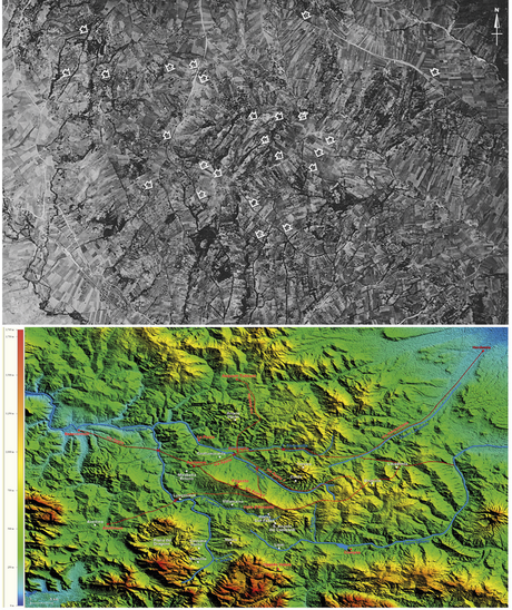
Part of Investigating resilient Roman agricultural landscapes in southern Italy. An integrated and open IT approach to modeling centuriation
Position: 2047 (13 views)