

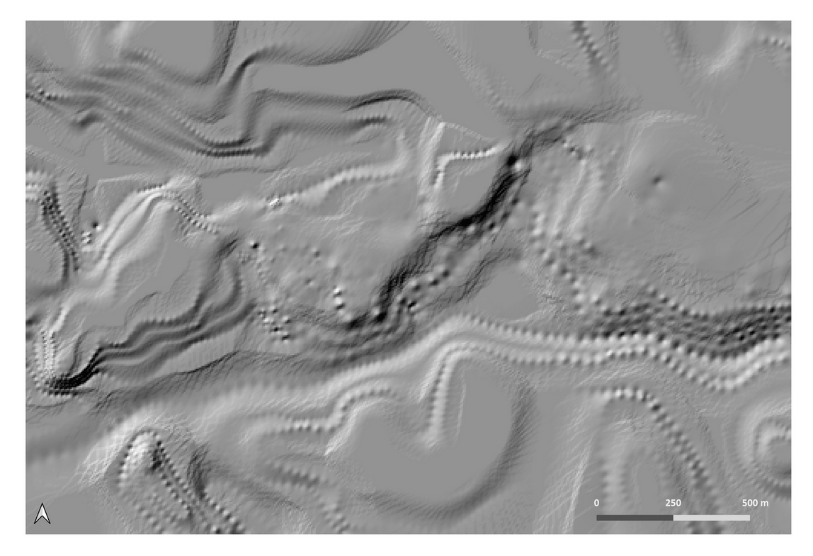
Digital Terrain Model of the study area during the Severan period. Reconstructive hypothesis based on data from literary and archival sources, historical cartographies, structural analysis and non-invasive surveys. The image shows the surface generated using the Inverse Distance Weighted (IDW) interpolation method, which allowed the z-values of the fiducial points to be preserved, before the final smoothing operation.
Part of Landscape visualisation and modelling
Position: 2605 (12 views)